- Knowledge Base
- Frequently Asked Questions
What is the Enterprise Geospatial Portal (EGP)?
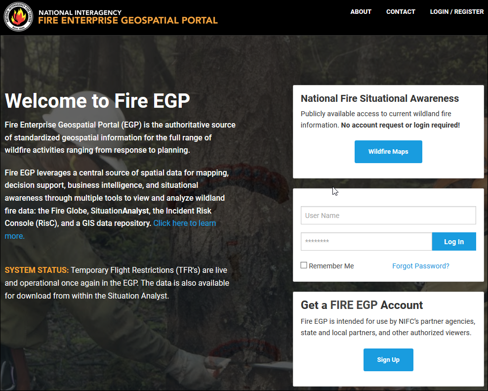
The National Interagency Fire Enterprise Geospatial Portal (Fire EGP) is the authoritative source of standardized geospatial information for the full range of wildfire activities from response to planning.

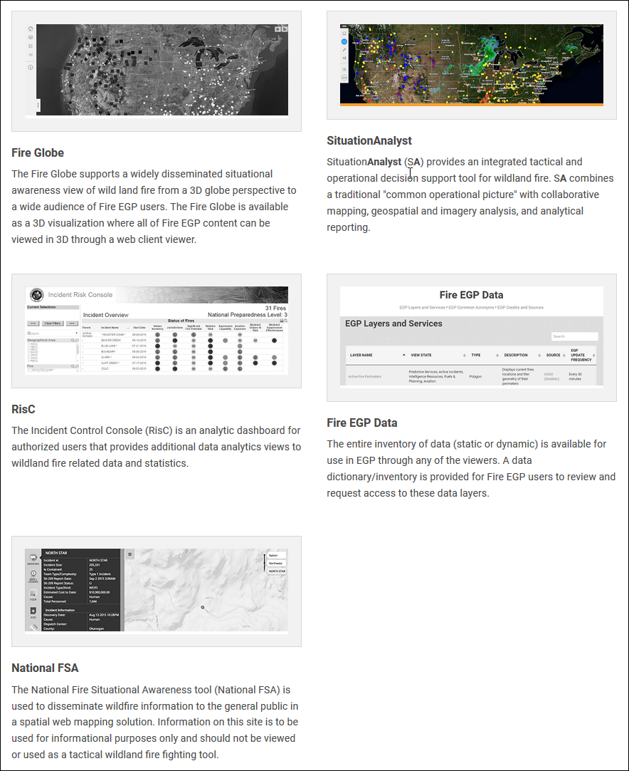
Fire EGP leverages a central source of spatial data for mapping, decision support, business intelligence, and situational awareness through multiple tools to view and analyze wildland fire data: Fire Globe, Intterra, the Incident Risk Console (RisC), and a GIS data repository.

